
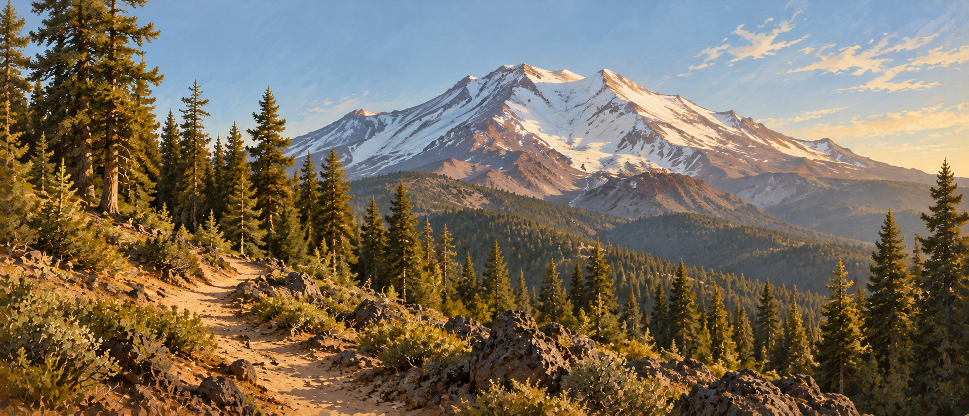
The Hike
Confirm the named trail
At Bunny Flat, consult a current Forest Service map and trailhead signs to identify route 03W05 toward Sand Flat Trail.
Follow the northwest connection
Stay on the established trail toward its Sand Flat Trail junction. Keep track of junctions so you can return to Bunny Flat.
Turn around at your planned point
For this outing, retrace the same route rather than adding an unplanned mountain extension. The return approximately doubles the one-way distance.
Trail Information Sources
- Forest Service: Bunny Flat Trail 03W05
- Mount Shasta Avalanche Center: Bunny Flat trailhead
- Mount Shasta Avalanche Center: Horse Camp route reference
- Mount Shasta Avalanche Center: current mountain information
Independent trail guide. Check the land manager’s current notices before visiting.